About Hiker Therapy
I am a proponent of nature to self-soothe, manage, and ease symptoms of anxiety, mood disorders, mental health and substance abuse disorders or feeling stuck in life.
Nature engages the 5-senses (sight, smell. hearing, taste and touch) like no other physical place. When the 5-senses are engaged, we are present in the moment better enabling us to seek clarity and change.
Physical activity such as hiking provides the exercise effect which research is beneficial in managing good mental health.
I Can Offer Guidance and Support with
- Anxiety disorders and Depression
- Confidence, Self Worth & Self Esteem
- Understanding how blame holds us back
- The importance of Self-Care
- Loving Romantic Relationships That Work, The 5 Mainstays: Communication, Family, Financial, Sexual and Spiritual
- Getting Your Needs Met; Learning to Set Boundaries with people, places and things in your life
- How to Achieve Service and Purpose
- Managing Grief, Loss, Sadness and Change
- Are The 3 Pilars in Balance : Relationships, Work, Home
- Substance Abuse Recovery
- Relapse Prevention Planning
- Families in Recovery
The hikes I plan for us are done at a length and activity level comfortable with each client.
By changing the “office” we work in a new dynamic takes place, transforming the individual differently.
I also offer tele-health and park sessions.
Please take your time going through the information and material posted on these pages.
Mission Statement
To use nature, the physical activity of hiking, and my professional training as a mental health and recovery clinician to provide client-centered healing and repair.
Please call me at 760-215-2112 or email hikertherapy@gmail.com to book a session
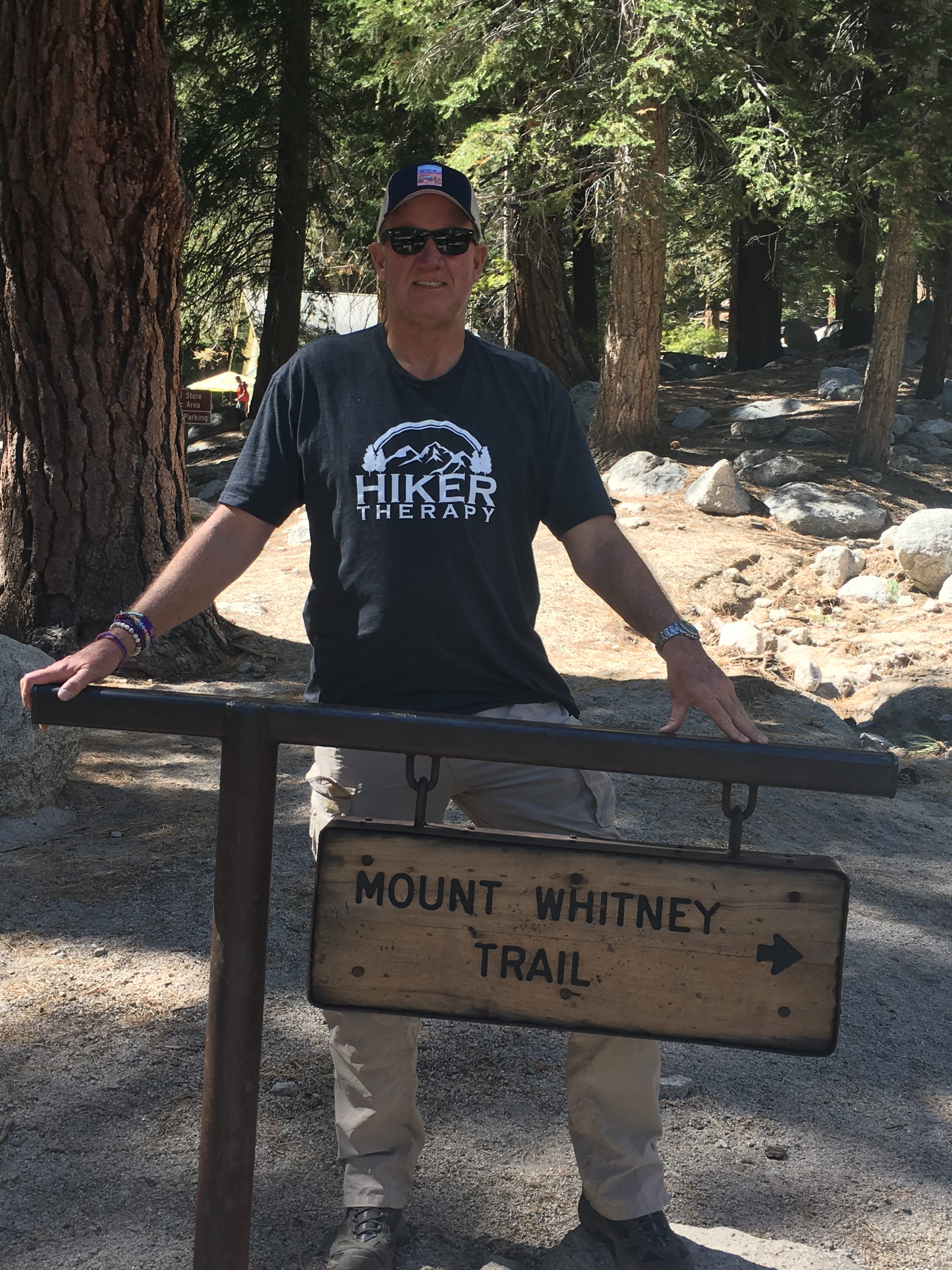
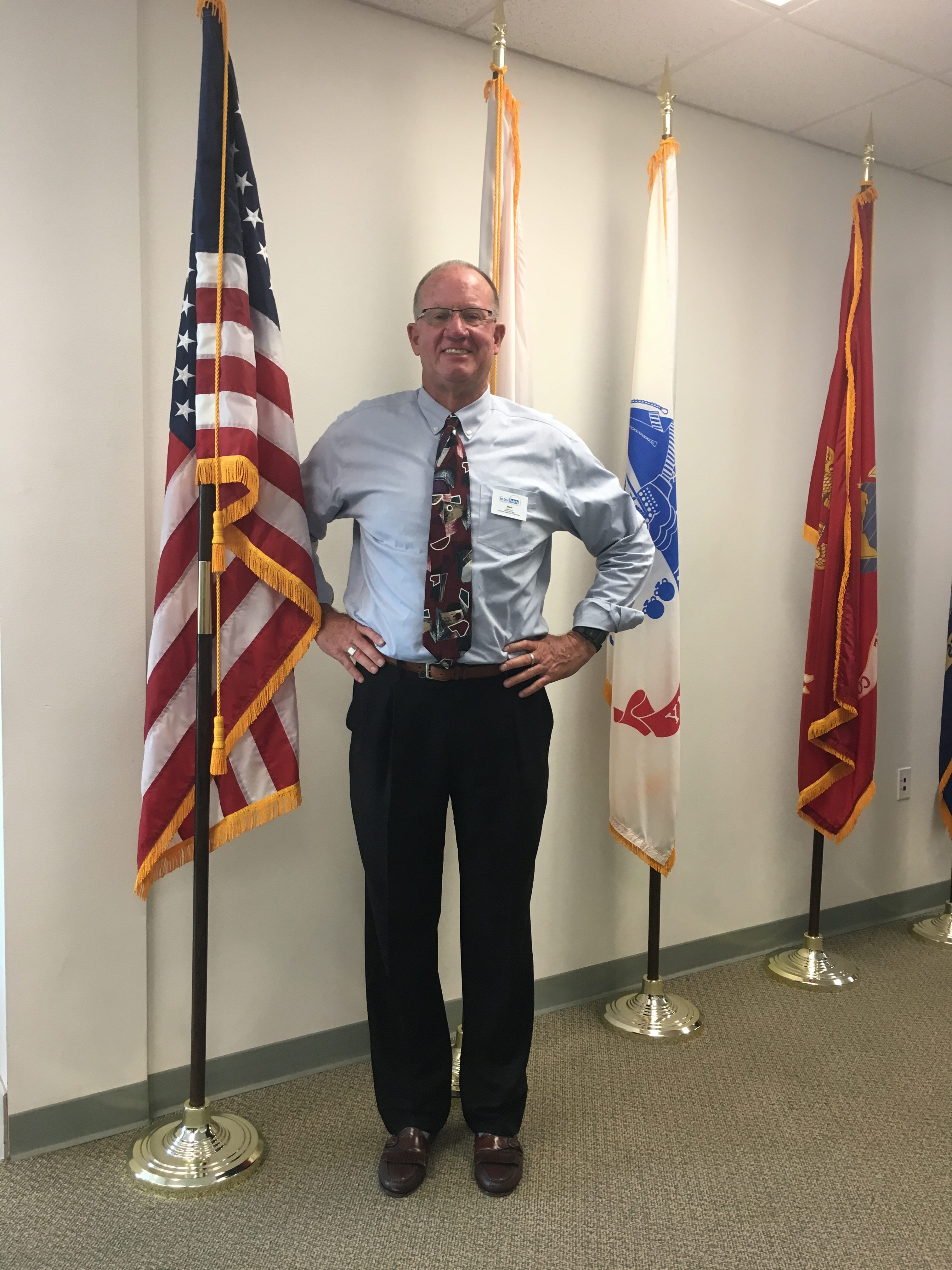
Mark Lees, M.A., CADC-CAS
I love the outdoors, and I love hiking. Hiker Therapy offers me a safe place to be myself. I feel comfortable enough to share my feelings and concerns without judgment. Mark is a great counselor, facilitator, and guide.
Wendy H.Hiker Therapy is such a great idea. As someone in recovery, I needed an outlet to fill the void of abstaining from narcotics. Hiking and nature answered this for me. Mark’s style and non-judgemental ways only added to the therapeutic value for me. Mark’s knowledge of the world of addiction and recovery was huge for me. He knew when and where to call me out on my shit. And he did. Great experience and I’m sober and learning how to live, as Mark would say, with Service and Purpose. I recommend this service to anyone in need of recovery.
Ray A

A story of:
🔹 Relationships, Reconciliation, Forgiveness, Mental Health, Travel, Hiking, and Love.
🔹 Inspiration and Motivation for Those Who Have Life Goals and Dreams to Fulfill
(unedited excerpt )
Prologue
Wednesday, September 14, 2016, 11:30 AM: Mt. Whitney Trail
Inching our way closer to the summit Joseph turns to me. “There it is Pops.”
Off in the distance the Whitney Hut appears perched atop the massive peak, a cathedral of granite rising high into the heavens. I look in awe but the 14,000-foot elevation and the fifty-eight percent oxygen level are taking its toll. I am having to make a mental effort to concentrate and focus. My left knee screams with each step. I am covered in a cold clammy sweat. Although my lips remain parched my jaws are filling with saliva.
I don’t remember nausea the last time.
The breathtaking views west of the mighty Sierra Nevadas somewhat revive me.
Breathe-step-breathe-step.
Having come to the end of ‘The Pinnacles’ we enter a large barren talus field of ashen rock debris. Embedded in the gray flecked sand are large boulders close to the trail. Needing a break I hobble over and collapse on one of them. The frigid, dry wind swirling from the peak whips against my face.
Hikers descending from the summit approach. “Are you OK, man?”
I manage to give them a thumbs up.
I will not be one of the sixty-six percent who does not summit.
Joseph, ahead by 25 yards or so and seeing I am in distress walks back to me.
“Pops, almost there.”
About Me
My name is Mark Lees, and I was born in Detroit, Michigan. I now live in Oceanside, California, on the coast 35 miles north of San Diego. I have a son and recently became a Grand Pop.
I have a Master’s Degree in Psychology with an emphasis in Marriage and Family Therapy from Chapman University. I also am a CCAPP Certified Addictions Specialist in the State of California.
Besides my education, I also have 10+ years of experience working with varied populations such as adolescents, families in recovery, young adults, LGBTQ, Veterans, seniors and families, who have had mental health disorders and AOD (alcohol and other drugs) abuse/addiction.
For fun and self-care I like to Hike, Gym, get into the Easter Sierra as much as I can meditate, and see as many MLB baseball games as I can each season. I love the calming and healing powers of music and consider Jazz my go to genre.
Hiker Therapy is my passion and holistic connection to nature and the curative therapeutic calm it provides. Counseling those in need of healing for mental health and addiction related disorders is my service and purpose.
I have used Hiker Therapy at various employment positions as well as through my private practice.
I am currently editing POP’S TAKE US TO THE TOP: The Story of how Father and Son reconcile their fractured relationship through the sport of hiking culminating in the attempt to summit Mt. Whitney, The highest Mountain Peak in the lower 48 states…
Motivational Minute
60-seconds worth of inspiration, motivation and education to jump start your mood: Current Minute on Holiday emotion

HIKER THERAPY FOR GROUP ACTIVITY
IS EXCELLENT FOR BONDING, STAFF TEAM BUILDING AND FOR CLIENTS IN NEED OF HEALING AND REPAIR.
I HAVE CREATED GROUP TOPICS SPECIFICALLY DEVELOPED FOR BEING OUT IN NATURE AND ON THE TRAIL TOPICS INCLUDE “THE 3 STONES HIKE,” “THE 5 SENSES,” “HOW NATURE CAN HEAL MOOD AND SUBSTANCE ABUSE DISORDERS.” AND MANY OTHER TOPICS.
I HAVE WORKED WITH NON-PROFIT ORGANIZATIONS GUIDING THEIR STAFF AND EMPLOYEES ON GROUP HIKES.
I HAVE USED HIKER THERAPY WITH VETERANS, THOSE IN RECOVERY AND WITH COURT ORDERED ADOLESCENTS.
PLEASE CALL ME @760-215-2112 SO THAT I CAN WORK WITH YOU TO GET YOUR GROUP OUT ON THE TRAIL AND INTO NATURE.
Hiker Therapy
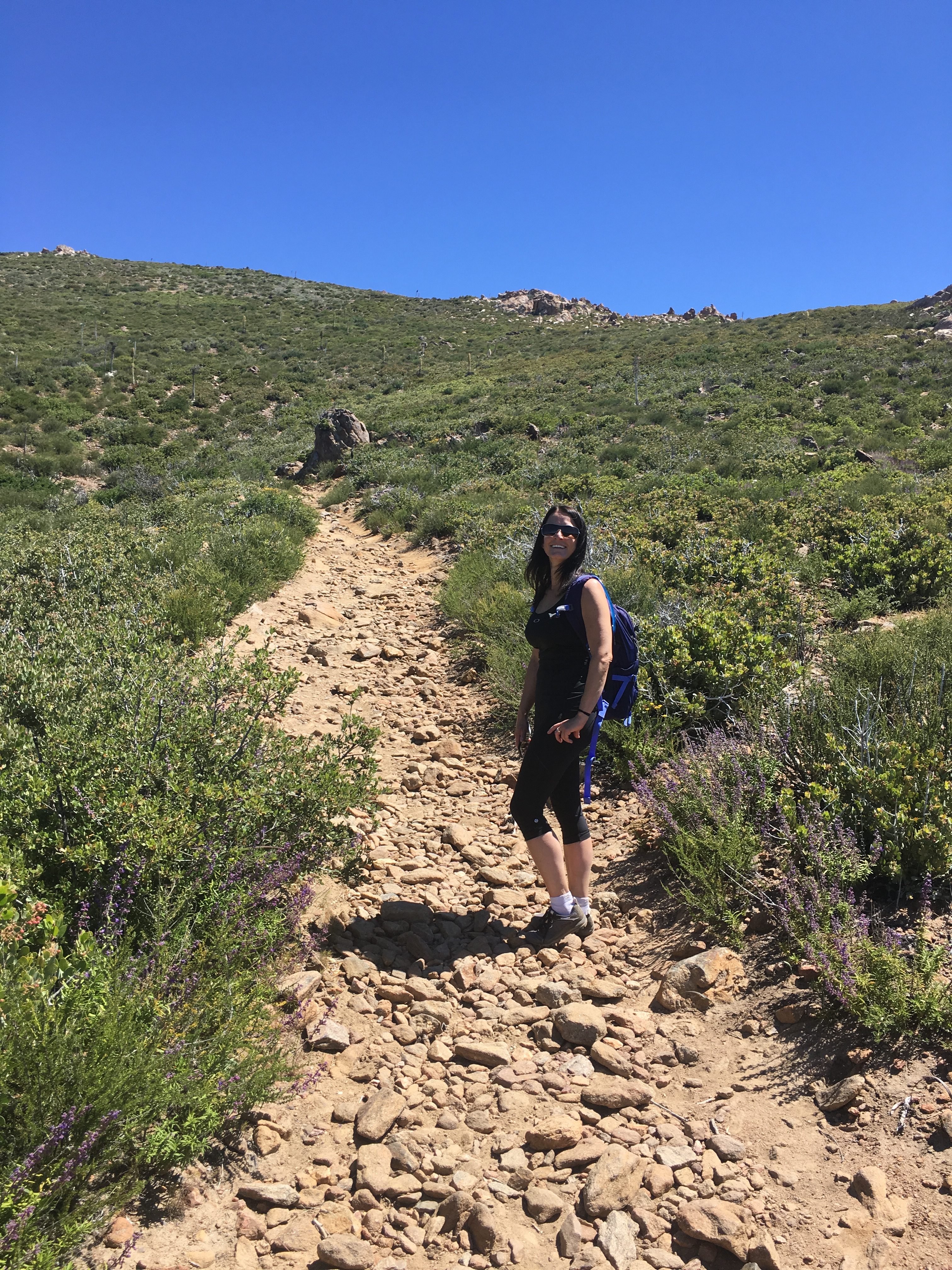
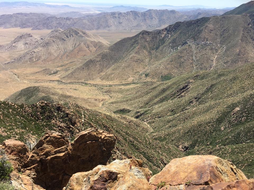
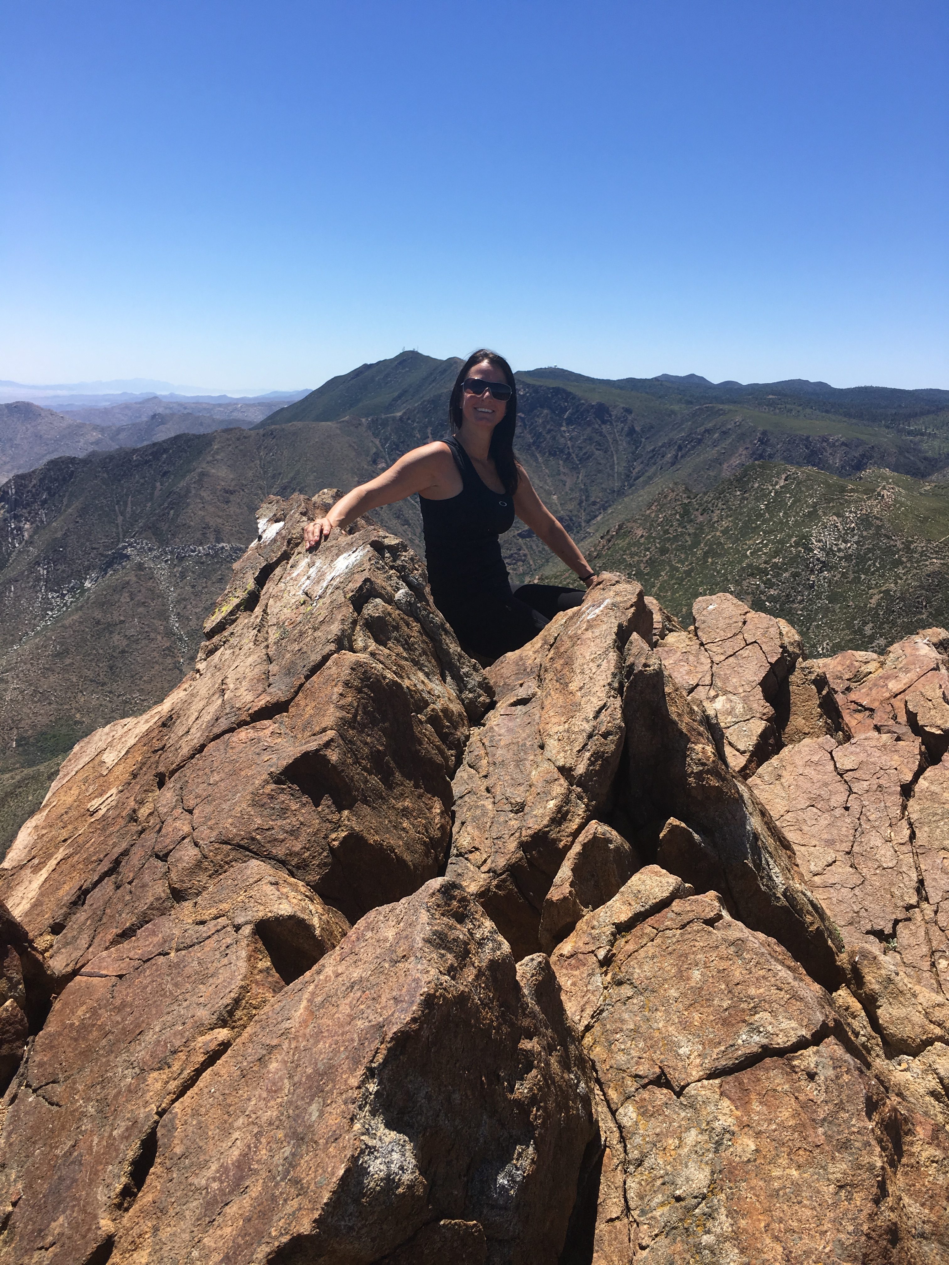
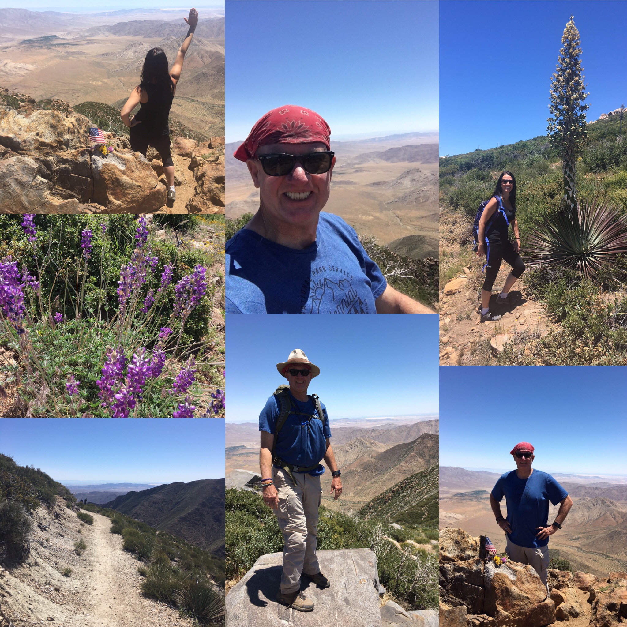
Hike of the Month
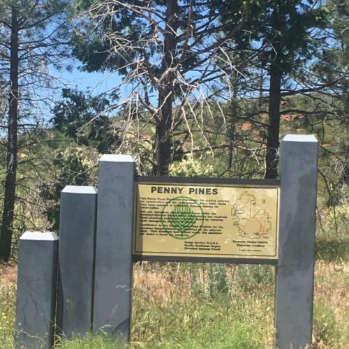
Garnet Peak: via Pacific Crest Trail at Penny Pines; Pine Valley, CA
The trailhead is well marked with a large Penny Pines trailhead sign, you will see the Penny Pines Information board and the trailhead start.
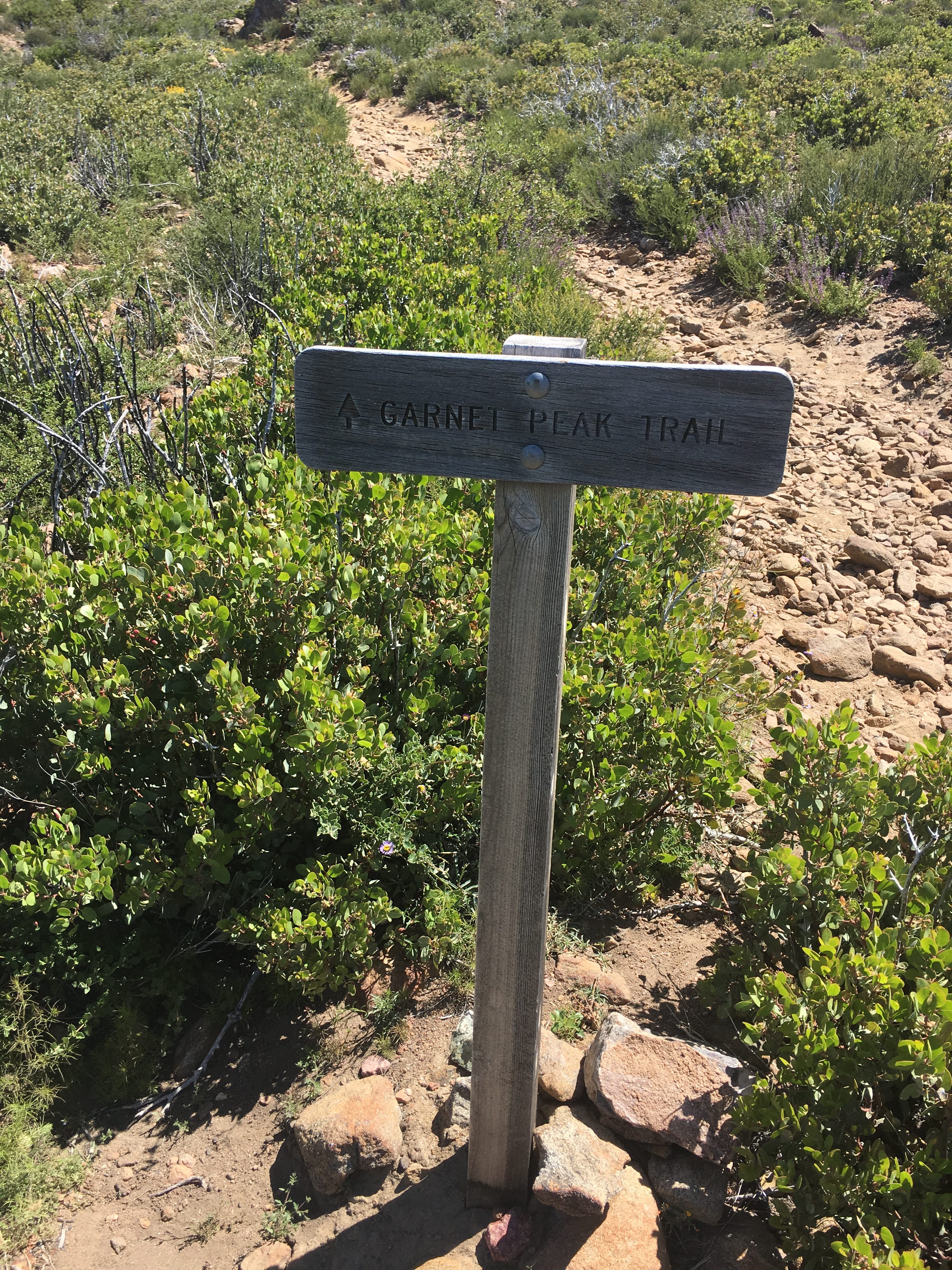
Pass by the sign onto the trail leading you to Garnet Peak along the Pacific Crest Trail. PCT blue shield markers denote the Pacific Crest Trail.
Head northeast on the trail and you are on your way to the beautiful surrounding views of the desert before you and the rocky green landscaped mountain scenery. Enjoy one of my favorite peaks in San Diego County…
-
-
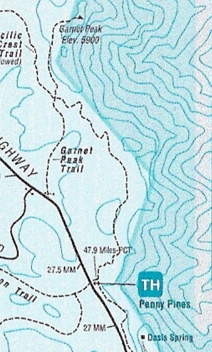
Garnet Peak Map
-
-
-
-
-
-
See Our List Of Hikes!


Hiker Therapy
Men’s and Women’s
Royal Blue and Charcoal Gray Logo T-Shirt
Ultra Soft 50/50 cotton Poly Blend Very Light Weight Shirt for Hiking or Hanging Out In.
Available in Shop
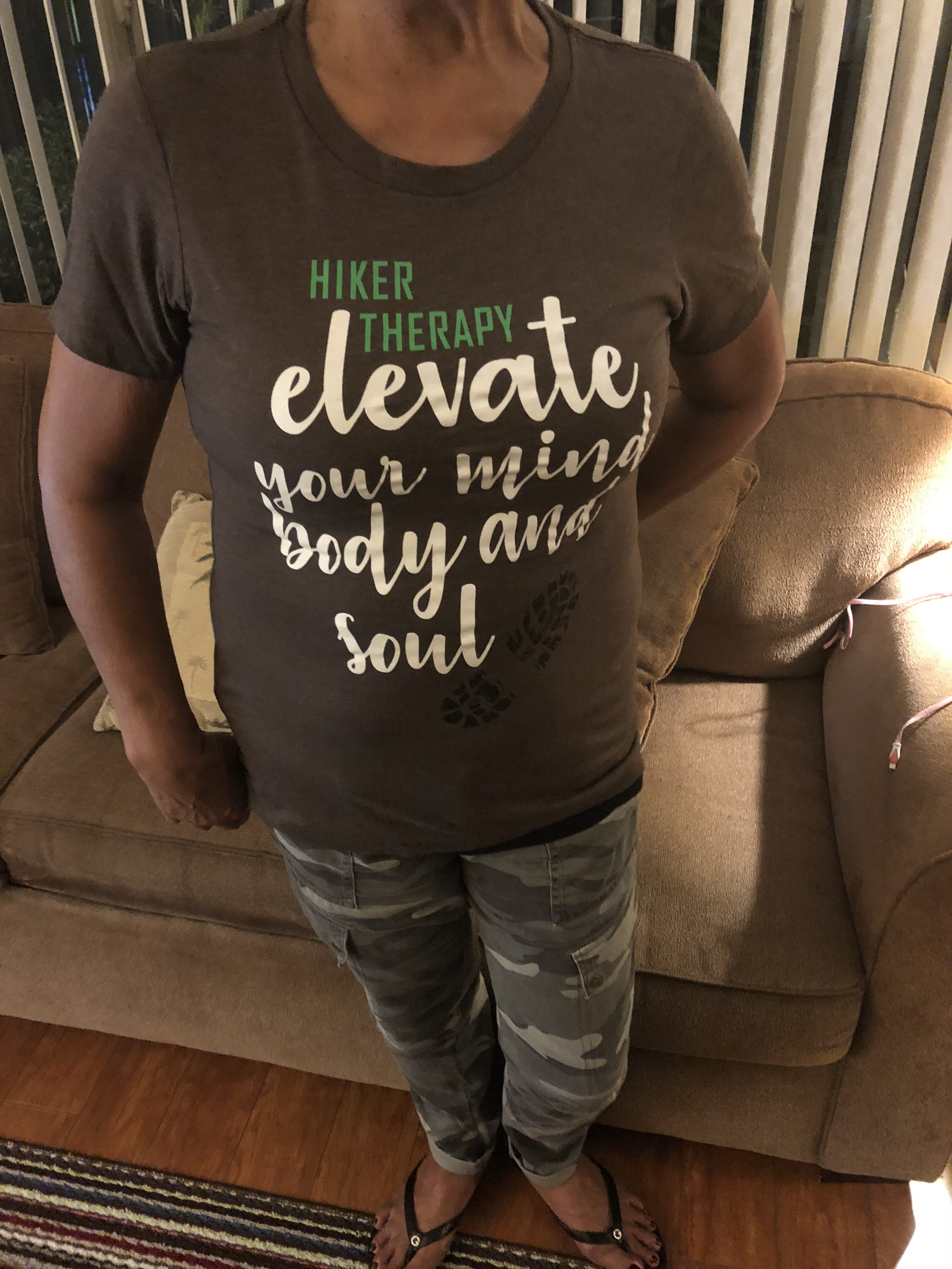
Click on T-shirt Photos to Shop

Hiker Therapy Recommended Family Hikes
Nothing brings families together like spending time sharing an activity, and better than that, being together out in nature on the trail… The 5 trails listed here are diverse and offer a scenic view of our county….Each varies in difficulty, however all these trails have been done by families with children as young as 7. (click on the Hike below to get information about that trail)
Los Penasquitos Canyon Preserve (easy), San Diego
Lake Calavera Preserve Volcano (easy-moderate), Oceanside
Iron Mountain (strenuous), Poway
Blue Sky Ecological Reserve (easy-difficult, if you climb the dam), Poway
7 Bridges Urban Hike (easy-moderate), San Diego
My North County
Go to Top 5 Hikes!
(click on hike for link)
Lake Calavera Preserve;
Oceanside, CA
Double Peak Mountain;
San Marcos, CA
Stanley Peak, Daly Ranch;
Escondido, CA
Monserate Mountain;
Fallbrook,CA
Los Penasquitos Canyon Preserve,
Carmel Valley. CA
Search For Your Favorite Hiking Spot!