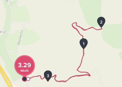
Time to Hike: 12-3pm STEPS: 9600 Distance: 3.3 miles out and back Hikeability: moderate to difficult in spots Snacks/Water: Orange, snack bar, 1.5L water Temp: low 75 degrees
Directions to hike : From the North or South Exit from Interstate 15 at 76/ Pala Road and drive west to Old Highway 395 and turn right (north). Drive 2.6 miles then turn right on Stewart Canyon Road and go east under the Interstate to Pankey Road. Turn right and park on the right. The start of the trail is across the street and is marked by a sign
From the coast: Hwy 76 to Hwy 395, turn left, Drive 2.6 miles then turn right on Stewart Canyon Road and go east under the Interstate to Pankey Road. Turn right and park on the right. The start of the trail is across the street and is marked by a sign
One of my Top 5 North County Hikes is Monserate Mountain in Fallbrook, CA. Today I hiked the “Short way” up. However, this 3.3 mile round trip out and back hike offers a good challenge for legs and cardio which make it well worth the hike. In fact I used Monserate as one of my training hikes to get in shape to hike Mt. Whitney a few years back.
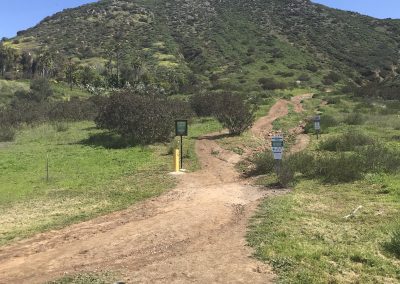
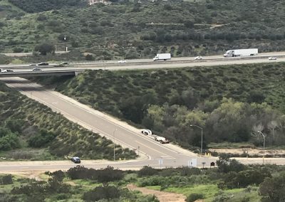
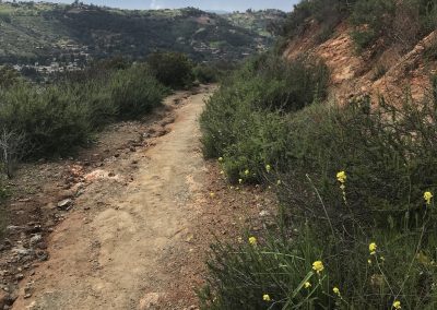
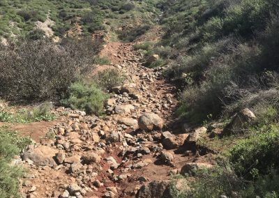
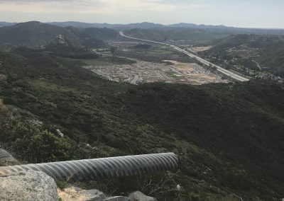
The trailhead off of Pankey road is on the opposite side to the parking area. The trail start leads you direct east for a hundred yards towards the mountain with a gradual incline slope ascent leading you on your way. The majority of earthen trail transitions to a majority rock and loose gravel composition. Look back and to your west and you will see Interstate 15 and the parking area where your car is.
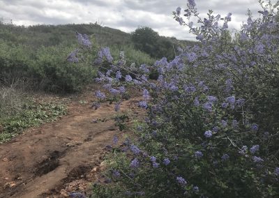
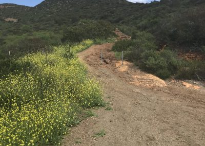
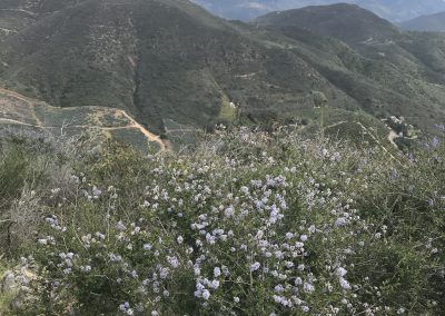
As you wind your way up this rugged trail you will come to a service road at about the .75 mile mark. Make a left here for the remaining of the trail to the Peak. That’s the trail I took. Today, the plant life and brush are a beautiful mixture of various shades of natural green. Lavender and yellow flowering plants adorn the trail. The recent rains can be congratulated for this. Its the most colorful Monserate has been since I started hiking it, five years ago.
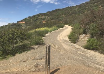
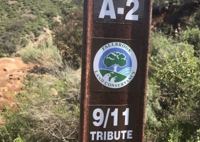
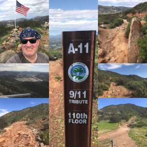
Continuing your climb you will be greeted by a few trail posts providing distance to various viewpoints and th Peak. On your way up tribute markers to 911 mark the trail as well. . These 911 tributes pay homage to those who lost their lives on that fateful day. Each marker states the election using floors of the World Trade Center. see photo
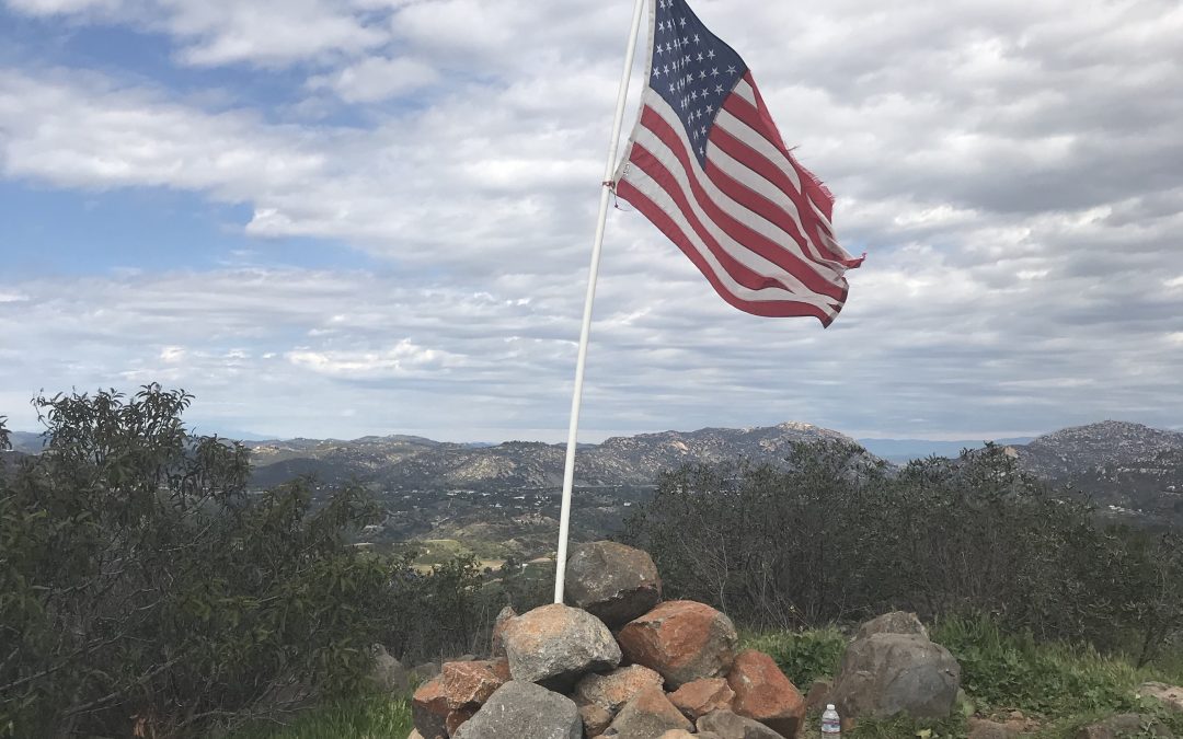
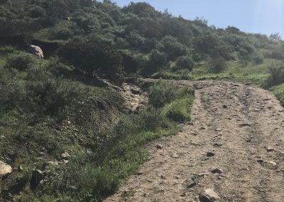
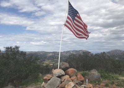
Continue ascending, the trail alternates between very loose and jagged rock and hard packed earth. Today the earth and usual brown soil is a rich red due to the past week’s rains. The trail levels out at about the 1.25-mile mark for about .3 of a mile. Here you begin your final push to the peak hiking a 30-degree slope to the top. 100 yards from the peak you will see the American Flag waving i the wind cleaning it sake of being planted at the summit of Monserate Mountain.
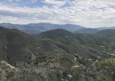
Monserate is one of my favorite Peaks. The views are breathtaking as you look west to the Pacific Ocean and east to the Palomar Mountain Range and The Cleveland National Forest. Sign in at the ammo box which contains the Summit Journal. Relax and enjoy your accomplishment, rest, hydrate and exchange conversation with other hikers sharing this moment with you. The descent back is the same trail.
Once you hike Monserate, you too will add it to your go-to list of hikes in San Diego County…… HIke On!

